Inspection & Analysis
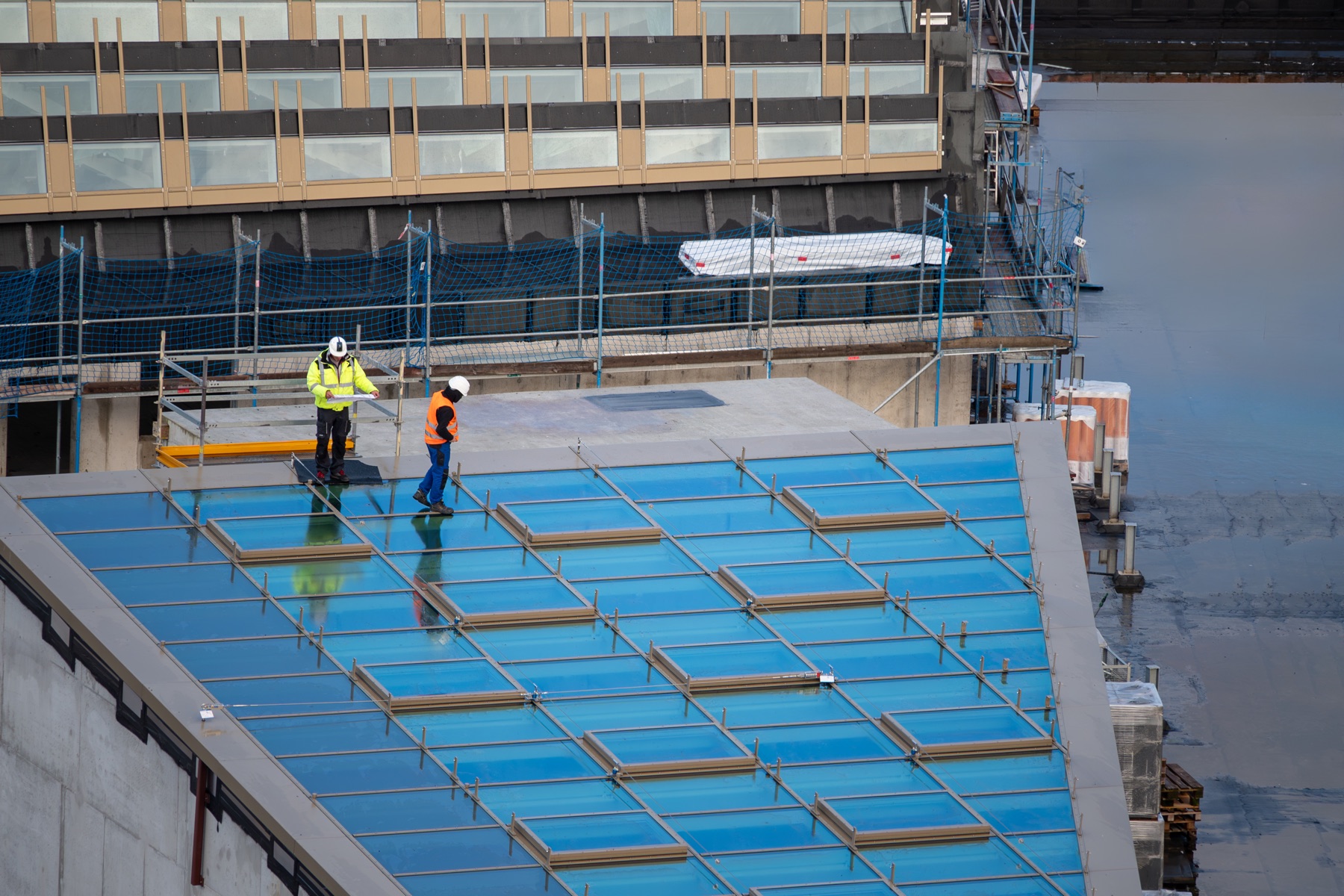
Structural & Infrastructure Inspection
Professional drone inspections for roofs, towers, bridges, construction sites, and industrial assets. Capture high-resolution imagery and thermal data without scaffolding or rope access.
- Roof and facade inspection
- Bridge and tower surveys
- Construction progress documentation
- Thermal and LIDAR analysis
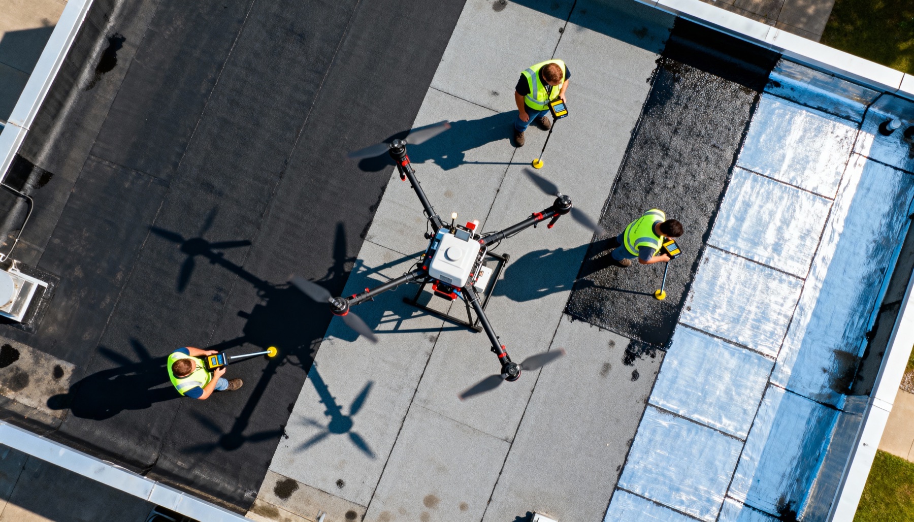
Mapping & Surveying
Precision Mapping & 3D Modeling
Accurate aerial surveys, topographic maps, and 3D point clouds for construction, land development, and environmental monitoring.
- Topographic surveying
- 3D site modeling
- Volume calculations
- GIS data collection

Capture & Media
Aerial Photography & Video
Cinematic aerial media for real estate listings, land documentation, marketing campaigns, events, and commercial productions.
- Real estate photography
- Land and property surveys
- Event and venue coverage
- Commercial video production
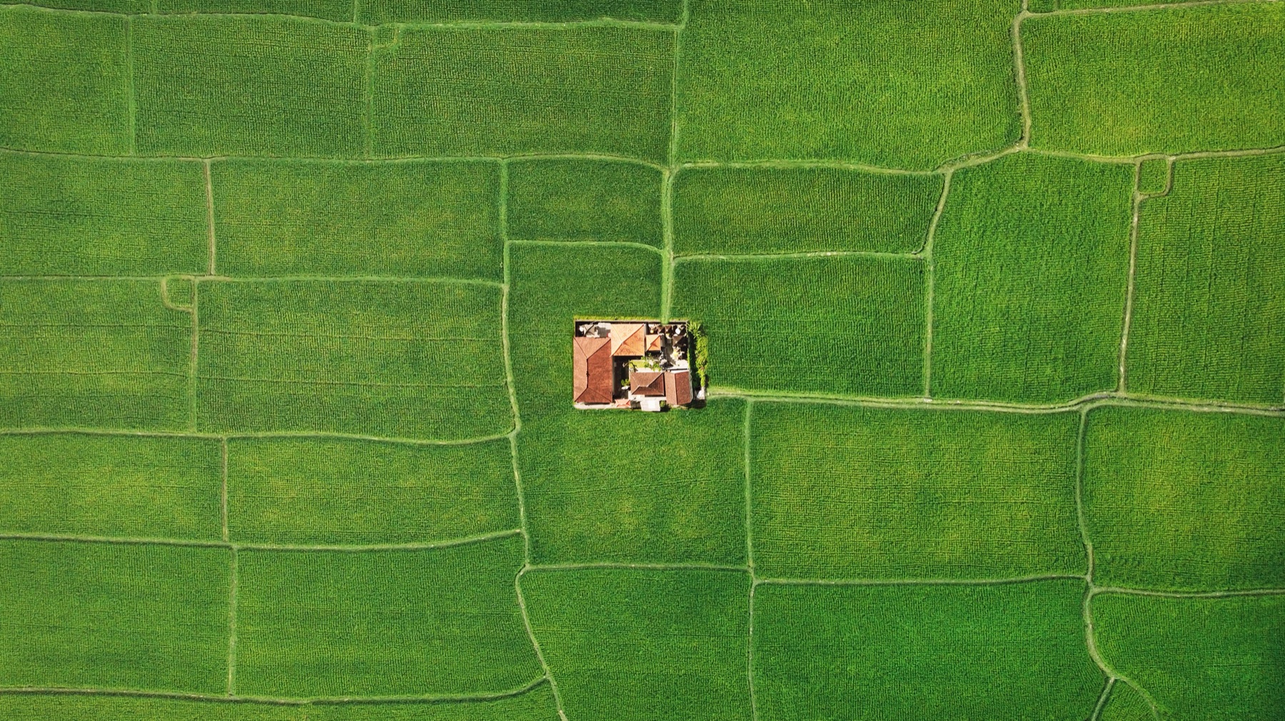
Agriculture
Precision Agriculture
Crop health monitoring, precision spraying, field mapping, and irrigation analysis to maximize yield and reduce operational costs.
- NDVI crop health mapping
- Precision spraying operations
- Irrigation and drainage analysis
- Field documentation